 Japan
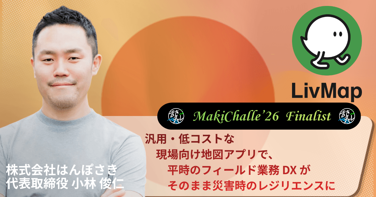
Japan株式会社はんぽさき


Message for the Open Pitch
“Severe disasters are increasing, infrastructure is ageing, and field operations are short of people — all at once. Precisely where digital transformation is hardest to achieve, in the field work that underpins society, LivMap brings a paradigm shift from "specialised, single-industry, expensive" to "general-purpose, multi-industry, affordable", with a shared map and an uncompromising field perspective. Through Maki-Challe we want to raise productivity and resilience on site, and make the people doing field work the heroes.”
Original: 激甚災害の増加、インフラの老朽化、そしてフィールド業務の担い手不足が、同時に進んでいます。 社会を支えるフィールド業務ほど DX が進みにくい今、LivMap は汎用的な共有地図と徹底した現場視点で、「専用・1業種・高価格」から「汎用・多業種・低価格」へのパラダイムシフトを起こします。 まきチャレを通じて、現場の生産性とレジリエンスを高め、フィールド業務の担い手をヒーローにします。
 — 小林 俊仁
You can vote at the Open Pitch on Oct 1. Please show your support!
Live on YouTube, Oct 1 (Thu) 2:00 PM JST. Subscribe to get notified.
SubscribeProposal
Proposal overview
In the field operations that underpin society, geographic information is still passed on and recorded with paper maps, phone calls and field notebooks, creating enormous invisible losses. To solve this we develop and provide LivMap, a shared mapping app that brings digital and AI transformation to field work. In normal times it digitises road and water maintenance, forestry and site surveys; when a disaster strikes it lets organisations share information across boundaries. Because it is phase-free — used exactly the same way in normal times and in an emergency — several municipalities have adopted it across their entire administration with disaster response in mind. https://livmap.co/ Through Maki-Challe we aim to raise the productivity of field operations in Makinohara and strengthen resilience against major earthquakes and volcanic eruptions in the Tokai region.
Original: 社会を支えるフィールド業務で地理情報の伝達や蓄積を行う際、紙地図・電話・野帳など従来的な方法が用いられることが多く、膨大な「見えないロス」が存在する。 こうした課題を解決するため、LivMap という、フィールド業務の DX, AX を実現する共有地図アプリを開発・提供している。 平時では道路管理、水道管理、林業、現地調査などを DX し、発災時には組織を超えて情報共有する。 平時だけでなく、発災時にもフェーズフリーでそのまま使用することができ、災害対応を見据えていくつかの自治体では全庁導入になっている。 https://livmap.co/ まきチャレを通じて、牧之原市のフィールド業務の生産性向上や、東海地域における大規模地震・火山噴火等へのレジリエンス向上を目指す。
Company info